Mountain Navigation for Runners
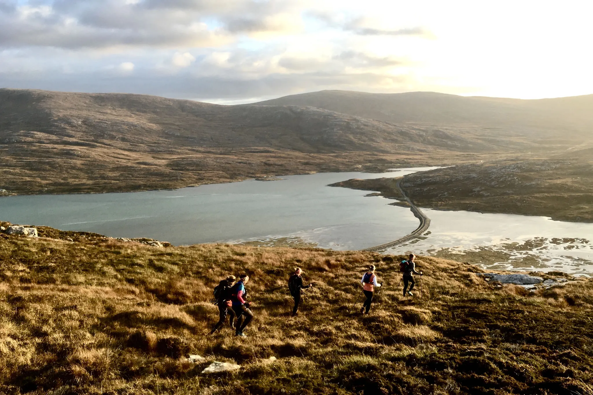
Whether you are looking to compete in your first mountain marathon or you are a runner who just wants to explore your local area more thoroughly, developing your navigation skills is one of the core skills you need. While we often rely on digital GPS devices in everyday life, the humble map and compass still rule in the mountains.
In this article, we take you through the basic ideas behind mountain navigation for runners. From picking your map to calculating distance, we discuss several foundational skills you must master to stay on track when navigating peaks. We’ll follow this article up with another covering more advanced concepts and techniques shortly.
Choose your preferred map
When you begin using a map and compass to navigate while running, the first thing to do is choose your preferred map. For most UK-based runners, there are three contenders.
OS Landranger
The Landranger series utilises a 1:50000 scale. So 2 centimetres on paper is a kilometre on the ground (or 1.25 inches equals a mile – if you prefer imperial measurements). While these are useful maps, the sheer size of the area they cover means a lot of important detail is left out. They are great for getting an overall feel for the local terrain but not necessarily for navigating it.
OS Explorer
The Explorer series employs a 1:25000 scale, which means 4 centimetres on the map converts to a kilometre on the ground (alternatively, 2.5 inches is a mile). This extra level of detail means they are great for navigating complex geographies. However, sometimes the detail can be too much and the symbols become overcrowded, making navigation while running tricky.
Harvey 1:25000
The Harvey maps cut out much of the clutter found on OS maps and focus primarily on outdoor leisure features. This makes them much easier to use while on the move and they are a popular choice amongst UK trail, fell and mountain runners. That said, there is a learning curve. Especially if you are accustomed to OS maps.
In most cases, we recommend using either the OS Explorer or Harvey 1:25000 series. While the Harvey maps are popular amongst mountain marathon runners, the OS maps are more widely available and accessible. In the end, it comes down to personal preference. Try both and see which you prefer.
Tips on using your map
To ensure you stay on track while running in the mountains, you must work on your map reading skills. Here are a few top tips to help you do so:
- • Set the map with the ground – it is much easier to read a map if you line up the features with what you can see in front of you. Orientate the map so that everything is the right way around. For instance, if you are running in a northerly direction, have the northern edge of the map furthest from you.
- • Thumb your position – if you lose where you are on a map, it can take a surprising amount of time to find where you are again. And time is a luxury you can’t afford if you are racing. For this reason, experienced runners tend to thumb the map. This means keeping your thumb pressed down where you are on the map.
- • Always carry the map – unless you are very confident you know where you are going, it pays to have the map in your hand for the entire race. Stopping to fish your map out costs you time and breaks your rhythm – both of which can harm your race. The only exception to this rule is when you have to scramble or climb and you cannot do so safely with a map in hand.
- • Be careful with markings – in many mountain races, you need to mark checkpoints on the map. Make sure you do not obscure any key details when doing so. It is also a good idea to number checkpoints, so there is no confusion about which order you have to pass through them.
Adding the compass into the equation
So far, we’ve only spoken about the map. However, mountain navigation is more of a two-tool thing. In many instances, you won’t be able to use the map alone. The features may not quite match up as you imagined, poor weather may obscure geographical features, or there may not be any defining features for you to use. It’s funny how one stretch of misty fell can look like every other when visibility is poor and the weather is not on your side.
When using a compass, the most vital skill is setting the map. You have already achieved this without the compass by matching real geographic features to their cartographic equivalents on the map. This time, line up the map’s meridian lines with the compass point.
Having done so, you have two options. You can:
- • Take a bearing – pick an easily identifiable object in your direction of travel and run towards that. You may need to take regular bearings to stay on course.
- • Run on the needle – if you are heading directly toward one of the cardinal points, you can usually run by referencing the compass alone. Simply follow the red pointer for the north and the white for the south. Adapting your approach to head east or west just requires a little common sense.
Calculating distance
As well as knowing what direction to go in, you often need to establish how far you have to travel. There are three main ways of doing this:
- By features – approximate the distance on the map and pick an appropriate feature that will alert you to the fact you have covered the necessary ground.
- By feel – this takes a lot of practice and experience to get right but can be highly effective. Calculating distance by feel is exactly what it sounds like. You use your judgement to assess whether you have covered the distance.
- Pace counting – to pace count, you need to know how many steps you take to cover 100 metres. You then count your steps while running and stop when you reach your target. Though accurate, many runners dislike keeping count in their heads and consequently opt for other methods.
Develop your mountain navigation skills
If you want to develop your mountain running navigation skills, we recommend doing so in two distinct ways. First, get out there and practice. Take a map with you whenever you head out running, even if you know the area well. It’s better if you are familiar with the route, as this ensures it’s easier to make those initial connections between the map and reality. Plus, you will benefit from a bit of extra confidence.
The second thing you can do is join RAW Adventures on one of our guided mountain and trail running days. We will help improve your technical skills, technique and navigational abilities while showing you some of the best trails in the UK. We can tailor the day to your experience and goals, ensuring you get the most from a fantastic day in Eryri’s spectacular mountains.
Instagram
#QuitTalkingStartDoing